
Vandermaelen | Atlas universelle de geographie physique, Brussels, 1827
Lot closes
December 11, 03:43 PM GMT
Estimate
20,000 - 30,000 GBP
Starting Bid
17,000 GBP
We may charge or debit your saved payment method subject to the terms set out in our Conditions of Business for Buyers.
Read more.Lot Details
Description
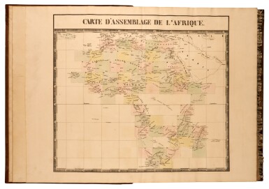
Philippe Vandermaelen
Atlas universel de geographie physique, politique, statistique et mineralogique sur l'echelle de 1/1641836 ou d'une ligne par 1900 toises. Brussels, 1827
6 volumes, folio (540 x 410mm.), 7 lithographed index maps, one of comparative heights with contemporary hand-colour in full; 382 numbered double-page hand-coloured maps by Henri Ode, contemporary half tree calf, some very occasional spotting, some wear
THE FIRST MAP OF THE WORLD ON A UNIFORM SCALE; constructed as a modified conical projection, if assembled, the maps form a globe with a diameter of 7.75 metres. Only one such globe was known to have been constructed; it was made by the author himself and required a specially designed room.
"Philippe Vandermaelen was born in Brussels in 1795, the son of a rich soap manufacturer. After his father's death in 1816, he devoted himself to maps and eleven years later produced this quite remarkable atlas. It was totally at his own expense, and like so many innovations in the past it came about through the single-minded efforts of a man who could afford failure... It offered the largest picture of the earth's surface available in the nineteenth century, thereby giving the lesser-known areas such as Australia, South Africa and the West coast of America, all developing countries, a much greater coverage than before. And, perhaps most importantly of all, it was the first atlas to be produced by lithography" (Wardington Catalogue).
LITERATURE:
cf. Koeman III, Vdm 1; NMM 3:179; Philips, Atlases 749
You May Also Like


![Mendeleev, Dmitri Ivanovich | First edition of Osnovy khimii [Principles of Chemistry], with two early versions of the periodic table, St. Petersburg, 1869–1871](https://dam.sothebys.com/dam/image/lot/347ce25c-7614-4b4a-9cb7-e0a15dddd638/primary/extra_small)


