Ptolemaeus, Claudius | La geografia, with Discorso universale by G. Moleto, Venice, 1561, contemporary limp vellum
Live auction begins on:
October 20, 02:00 PM GMT
Estimate
6,000 - 8,000 USD
Bid
5,000 USD
Lot Details
Description
Ptolemaeus, Claudius
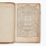
La geografia (translated from Greek into Italian and commentary by Girolamo Ruscelli, with Discorso universale by G. Moleto). Venice: Vincenzo Valgrisi, 1561
First edition of Girolamo Ruscelli’s translation, an important vernacular recasting of Ptolemy and one of the most influential Venetian editions of the Geographia.
The work brings together the two geographical systems that define the Renaissance Ptolemy: the ancient world reconstructed from Ptolemy’s coordinates and the modern world transformed by recent travel and exploration. Ruscelli translated the text from the Greek and supplemented it with extensive explanations and general introductions. Giuseppe Moleto’s separately titled Discorso universale sets out the terminology and rules of geography, while a substantial index correlates ancient place names with their modern equivalents. The result is not only an atlas, but a practical and interpretive edition intended to explain both the mathematical principles of Ptolemaic geography and their application to the rapidly expanding sixteenth-century world.
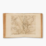
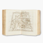
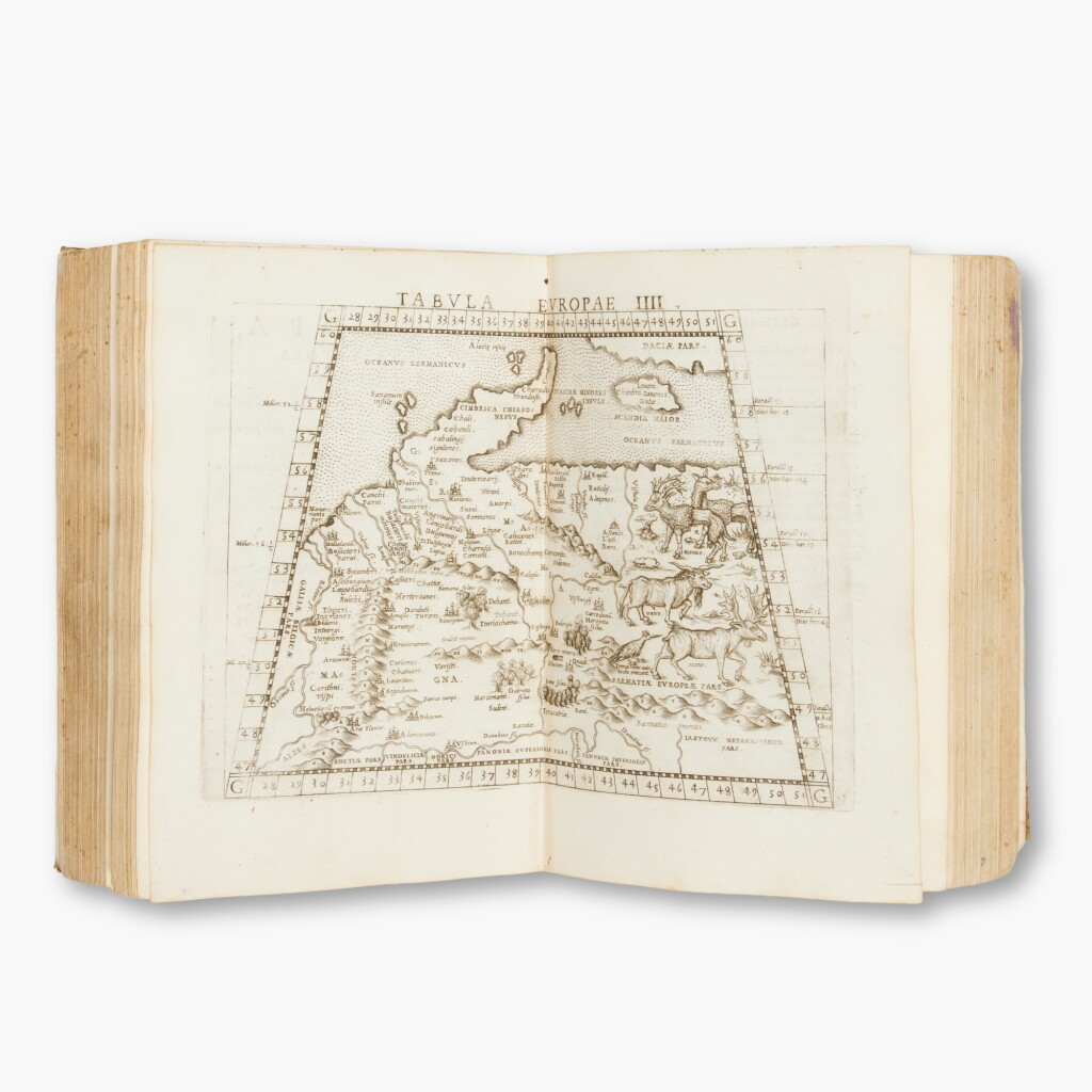
Although Gastaldi’s compact 1548 edition of the Geographia was not itself reprinted, its maps became the foundation for several later Italian Ptolemies. Ruscelli enlarged, corrected, and extended Gastaldi’s cartographic series for the present quarto edition, which contains sixty-four double-page copper-engraved maps: twenty-seven representing the ancient world according to Ptolemy, followed by thirty-seven “modern” maps embodying contemporary geographical knowledge. Some of Gastaldi’s maps were substantially redrawn, and four additional maps were introduced, including the new map of Brazil. The juxtaposition of the ancient and modern sequences allowed the reader to compare received classical authority directly with the evidence of navigators, merchants, and explorers.
Among the modern maps is Ruscelli’s celebrated Orbis descriptio, representing the world in two hemispheres. This is the earliest double-hemisphere world map to appear in an atlas. Derived in part from Gastaldi’s earlier cartography but recast in a form that would become standard in later atlas production, it presents the discoveries of the preceding century while preserving the considerable uncertainty that remained at the limits of European knowledge. Northern Asia and America are still joined through a broad expanse of Terra Incognita, its coast marked Littus incognitum. The volume also contains the Carta Marina Nuova Tavola, a navigational chart of the world on which North America is likewise connected to Asia.
The modern complement of maps devotes substantial attention to the Americas, with separate maps of Brazil, New Spain and the Gulf of Mexico, the eastern coast of North America under the title Tierra Nueva, Cuba, Hispaniola, and South America, in addition to their appearance on the general maps. The map of New Spain improves upon Gastaldi by showing Yucatán as a peninsula rather than an island. Other plates departing from the 1548 model include Scandinavia after Jacob Ziegler’s map of 1532; Brazil after Ramusio; the Arctic regions derived from the notorious Zeno map, first published in 1558; South Africa; and the navigational world chart.
Ruscelli’s atlas stands at the intersection of classical learning and practical cartography. Its maps combine Ptolemaic geography, recent printed authorities, navigational practice, and reports from overseas exploration, preserving in unusually concentrated form the geographical ambitions and uncertainties of the mid-sixteenth century. The plates continued to be used, revised, and augmented in later Venetian editions, establish the work’s long influence to the end of the century.
4to (233 x 159 mm), woodcut printer’s device on title, sectional title with device, woodcut diagrams and illustrations in the text, 27 maps of the ancient world, 37 of the modern world, together, 64 double-page engraved maps, after Gestaldi, trimmed within upper platemark, not affecting image subjects; effaced inscriptions at foot of title and on rear free endpaper, faint writing on 2M1, effaced stamps on verso of final map with some showthrough, some occasional pale dampstaining and intermittent browning. Contemporary limp vellum, remains of ties, a bit soiled and cockled. Later green morocco clamshell case.
REFERENCES
Adams P-2235; Phillips, Atlases 371; Sabin 66503; Shirley, British Library T. PTOL-10a; cf. Nordenskiold Collection 2:216
You May Also Like
![Archimedes | De iis quae vehuntur in aqua libri duo, a Frederico Commandino... [Bound with:] Federico Commandino. Liber de centro gravitatis solidorvm, Bologna, 1565](https://sothebys-md.brightspotcdn.com/dims4/default/38d76db/2147483647/strip/true/crop/2000x2000+0+0/resize/150x150!/quality/90/?url=http%3A%2F%2Fsothebys-brightspot.s3.amazonaws.com%2Fmedia-desk%2Fwebnative%2Fimages%2Fe3%2Fa8%2Fdf66fdd24c5ebc499d2a9dc83cd4%2Fn12451-bkh3x-t2-01.jpg)